Boston Harbor
|
|
This Site:
|
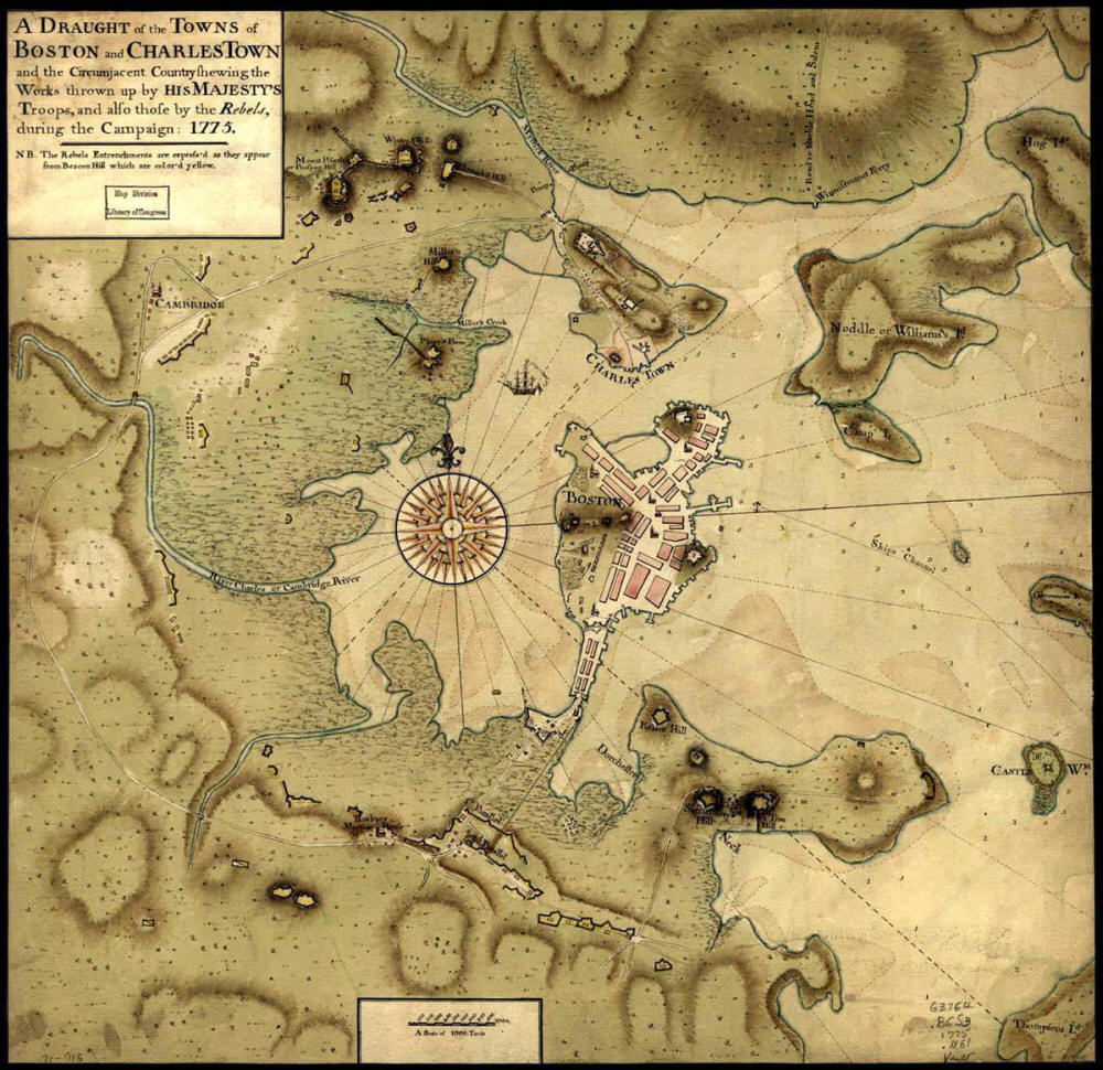
This is a wonderful map showing the Boston Harbor at the time of the Boston Tea Party, and the Revolutionary War. The map was created in 1775. It shows the location of British troops and military works, as well as the works of the colonists. The map was created as a pen and ink drawing, and is highlighted in watercolor. The patriot's positions are shown in yellow. The map has a watermark reading J. Whatman. The map shows the cities of Boston and Charles Town. |
|
|
||
|
|
Site Copyright 2003-2018 Son of the South. For Questions or comments about this collection, contact: paul@sonofthesouth.net |
|
|
Are you Scared and Confused? Read My Snake Story, a story of hope and encouragement, to help you face your fears. |
||