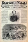
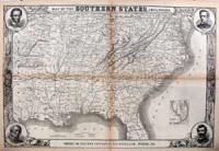
Map of the Southern States
The image above is an original Civil War map of the
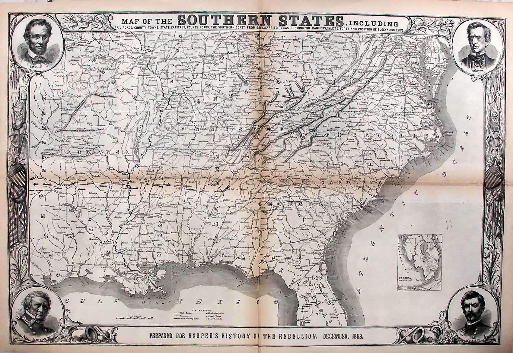
Southern States. It is an original leaf from the November 9, 1861
edition of Harper's Weekly. This stunning leaf is titled, "Map of
the Southern States, Including; Railroads, County Towns, State Capitals,
County Roads, the Southern Coast from Delaware to Texas, showing the
harbors, inlets forts, and positions of the blockading ships. The upper
left corner of the map features a portrait of President Abraham Lincoln,
the lower left a portrait of General Winfield Scott, the upper right a
portrait of Secretary Seward, and the lower right, General McClellan.
This map is a double fold out, and is a whopping
22X32 in size. Very few of these maps have survived in tact.
Because it is a double fold out, most were destroyed during the binding
process, leaving the map cut into four individual sheets. This is
the only one I have found in tact in over 20 years of collecting this
material.
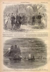
We acquired this map for the purpose of digitally
preserving it for your research and enjoyment. If you would like
to acquire this original map, it is available for $950.
|